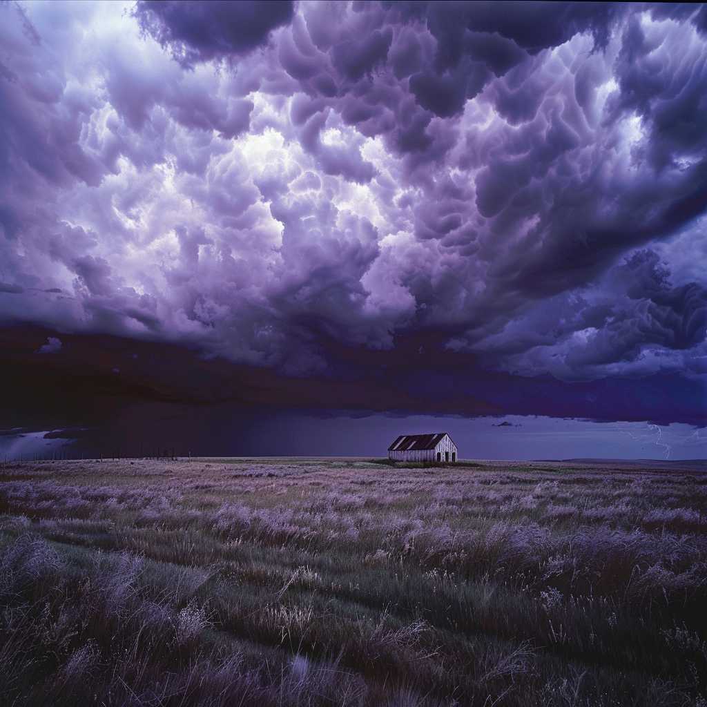
Understanding Severe Thunderstorm Watches: Preparing for Potentially Dangerous Weather Conditions
Thunderstorms are a common weather phenomenon, but they can escalate into severe events that pose significant risks to communities. To mitigate these risks, meteorological services issue various types of notifications, including severe thunderstorm watches. Understanding what these watches entail, how they differ from warnings, and what precautions should be taken, is essential for public safety. This extensive guide offers an in-depth look at the nature of severe thunderstorm watches and provides practical advice for staying safe when they are in effect.
What is a Severe Thunderstorm Watch?
A severe thunderstorm watch is issued by meteorological authorities like the National Weather Service (NWS) in the United States when conditions are conducive to the development of thunderstorms that could potentially become severe. This type of watch means that while a thunderstorm has not yet formed or reached a severe level, the ingredients in the atmosphere are present for it to occur.
Importantly, a watch covers a large area and is usually in effect for several hours, as it anticipates the widespread possibility of storms across a region. During this time frame, individuals within the affected area should be vigilant and prepared for rapid weather changes.
How It Works: Meteorological Process of Issuing Watches
Climate and weather agencies use sophisticated tools including radar observations, weather satellite data, atmospheric soundings, and various computer models to monitor conditions conducive to severe weather. When certain criteria are met—such as high instability, ample moisture, and strong wind shear—a severe thunderstorm watch is disseminated to alert the public and local authorities.
Watches vs. Warnings: Knowing the Difference
It is vital to distinguish between a severe thunderstorm watch and a severe thunderstorm warning. While a watch indicates the potential for severe weather, once meteorologists have detected a severe storm or have strong evidence suggesting its imminent development, they escalate the alert to a warning.
A severe thunderstorm warning is much more immediate and indicates that safety measures must be taken right away as damaging winds, large hail, lightning, heavy rain, and possibly tornadoes could occur. Warnings typically cover smaller geographical areas and shorter time durations than watches.
Safety Precautions During a Severe Thunderstorm Watch
Preparation Prior to a Watch
– Review family emergency plans and ensure every member knows what to do.
– Assemble an emergency kit with necessities such as water, non-perishable food, medications, flashlights, batteries, and first aid supplies.
– Ensure your cellphone is charged and programmed with emergency numbers.
– Secure any loose outdoor items that could become projectiles in high winds.
Actions to Take During a Watch
– Remain informed by monitoring local weather broadcasts or using a weather app.
– Identify safe shelter locations, such as a windowless room or basement.
– Keep away from appliances and avoid using landline phones due to the risk of lightning strike.
– Consider postponing outdoor activities until the watch has expired.
Following Up After a Watch
– Stay updated on evolving weather conditions since a watch can still turn into a warning.
– Inspect your property for potential damage or hazards after the storm passes.
– Report any downed power lines or structures to local authorities.
The Impact of Severe Thunderstorms
Severe thunderstorms can unleash several hazardous phenomena that can have disruptive and sometimes catastrophic effects on communities, ranging from downed trees and power lines to flooding and structural damage. The key impacts include:
–
Wind: Straight-line winds can exceed 58 miles per hour.
– Hail: Hailstones can grow to an inch in diameter or larger, damaging crops and property.
– Lightning: Strikes can spark wildfires or cause injury and fatalities.
– Rain: Intense downpours may trigger flash floods. Notes
–
Hail: Hailstones can grow to an inch in diameter or larger, damaging crops and property.
– Lightning: Strikes can spark wildfires or cause injury and fatalities.
– Rain: Intense downpours may trigger flash floods. Notes
–
Lightning: Strikes can spark wildfires or cause injury and fatalities.
– Rain: Intense downpours may trigger flash floods. Notes
–
