Understanding Hurricane Trackers and Their Importance in Weather Forecasting
Hurricane trackers are critical tools used by meteorologists to monitor and forecast the trajectories and potential impacts of hurricanes. These systems utilize a combination of satellite data, observational instruments, and computer models to predict the paths of these powerful storms. In an age where climate change is potentially increasing the frequency and intensity of hurricanes, having accurate and reliable hurricane tracking is more essential than ever for saving lives, minimizing property damage, and aiding efficient evacuation strategies.
The Evolution of Hurricane Tracking Technology
Origins and Early Methods
The history of hurricane tracking dates back to the 19th century when meteorologists relied on surface observations and the telegraph system to share warning information about tropical storms. However, these early techniques were rudimentary, making timely and accurate predictions difficult.
Satellite Revolution and Advancements
The launch of weather satellites in the mid-20th century transformed hurricane tracking. Satellites like the Geostationary Operational Environmental Satellites (GOES) provide continuous real-time images of the Earth’s atmosphere, giving meteorologists the ability to observe weather patterns with unprecedented clarity.
Modern Hurricane Tracking Tools
Today’s hurricane trackers integrate data from a web of sources—satellite imagery, ocean buoys, radar systems, aircraft reconnaissance missions, ground observations and advanced synthetic aperture radar (SAR) provide multi-dimensional data critical for tracking.
How Hurricane Trackers Work
Satellite Monitoring
Satellites provide kinetic images and thermal information that help identify the formation and development of storms in vast ocean areas. These eyes in the sky cover wide swaths of Earth, including isolated regions where other types of observations are not feasible.
Aircraft Reconnaissance
Specially equipped aircraft known as Hurricane Hunters fly directly into hurricanes to gather data. Their on-the-spot measurements include wind speed, pressure, temperature, and humidity readings that are invaluable for understanding the current state of a storm.
Computer Predictive Models
Meteorologists use sophisticated computer models to process the vast amounts of data collected from various instruments. These models simulate the atmosphere’s behavior to predict how a tropical storm might develop and move.
The Role of Doppler Radar
Doppler radar technology aids in accurately measuring storm velocity and rainfall intensity. It contributes valuable information about a hurricane’s inner structure, such as wind bands and eye wall conditions.
Impact on Disaster Preparedness and Response
Facilitating Timely Evacuations
Reliable predictions enable local governments to issue timely evacuations ahead of a storm’s landfall. Hurricane trackers can estimate a storm’s trajectory days in advance, allowing communities to prepare or evacuate as necessary.
Informing Emergency Services
Updated hurricane paths allow emergency services to pre-deploy resources strategically, optimizing response times after a storm passes.
Public Warnings and Information Sharing
Widespread access to hurricane tracker information through television, internet, and mobile applications means that the public can stay constantly informed about potential threats and safety measures.
Global Implications for Climate Monitoring
Understanding hurricane patterns plays an essential role in monitoring climate changes. Consistent tracking over time paints a clearer picture of how global weather patterns shift due to changing climate conditions.
Challenges Facing Hurricane Trackers
Despite technological advancements, predicting hurricanes remains challenging due to the inherent complexity and chaotic nature of Earth’s atmosphere. Limitations in data quality, processing power, science funding, and public understanding can deter effective forecasting.
*Notes*
*Image Description*
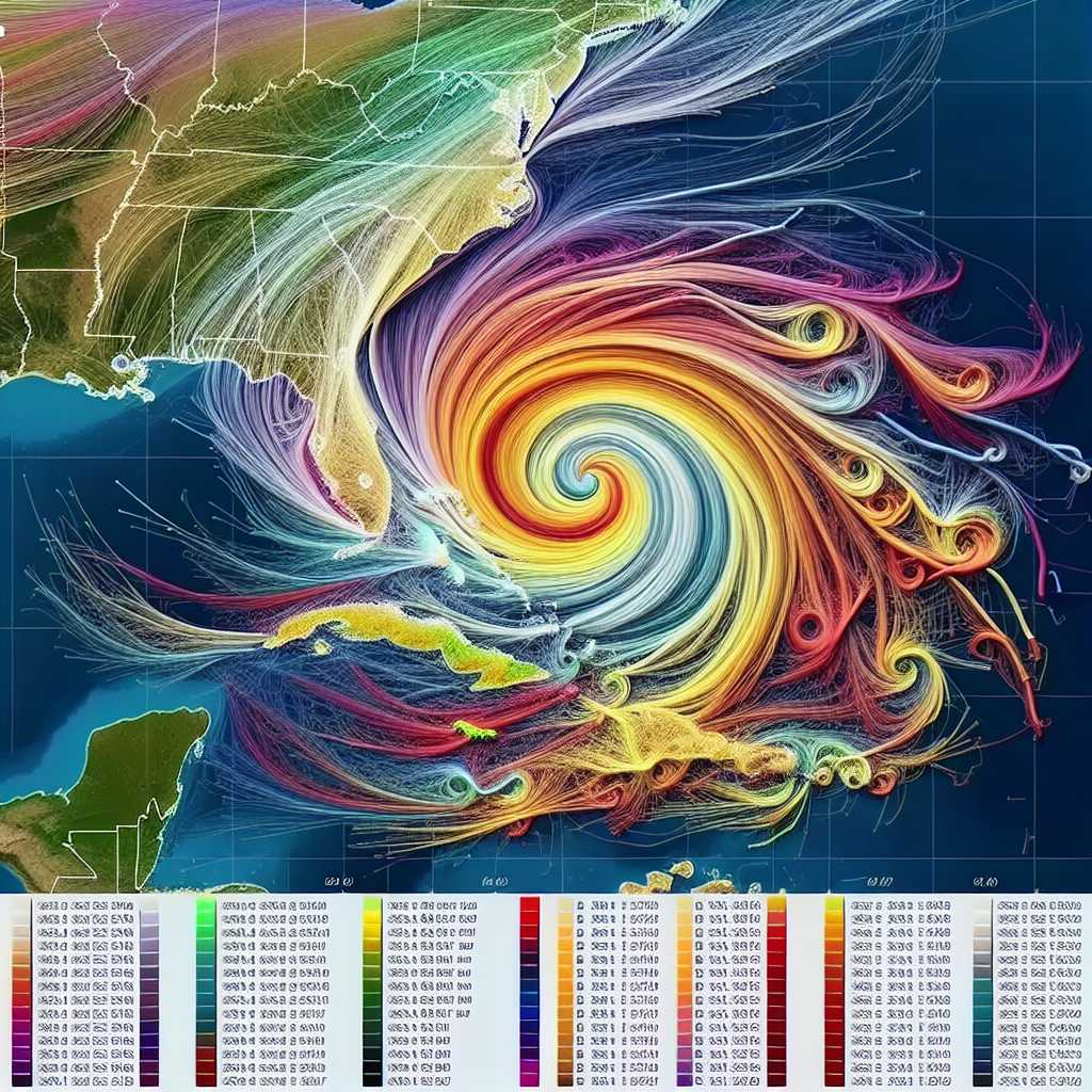
An image displays a multi-colored hurricane tracking map with overlaid projected paths (the so-called “spaghetti models”) outlining different possible routes that a hurricane could take as predicted by various computer models. The map zooms in on a well-defined cyclonic structure signifying an active hurricane over open ocean. On one side of the image is a sidebar showing categories with corresponding wind speeds, meant for determining the severity upon landfall based on hurricane trackers’ calculations.
