Understanding Hawaii’s Seismic Vulnerability
When natural forces rumble beneath the Earth’s surface, the resulting quake can stir up more than just the land; it fills hearts with angst and prompts questions about the safety and preparedness of those who make their homes upon shaky ground. Earthquakes in Hawaii, in particular, arise from the complex interaction of tectonic movements and volcanic activities, making this topic one of both scientific interest and human concern.
Hawaii’s Geological Framework and the Origin of Earthquakes
The Hawaiian Islands are a chain of volcanic isles situated in the central Pacific Ocean, formed over millions of years by the Hawaiian hotspot — a plume of hot mantle material rising towards the surface. As the Pacific Plate moves northwestward over this hotspot, new islands are born while older ones move away and subside.
Earthquakes in Hawaii primarily occur due to two reasons: volcanic activity and tectonic movements. Volcanic earthquakes are a result of magma forcing its way through cracks in the Earth’s crust, causing the ground to crack and tremble. Tectonic earthquakes in Hawaii are less common, given that Hawaii does not sit on a boundary between tectonic plates where most tectonic activity occurs. However, the weight of the volcanoes themselves can cause infrequent tectonic earthquakes due to bending of the ocean’s crust.
Notable Earthquakes in Hawaii’s History
Despite being relatively infrequent, when tectonic earthquakes do occur, they can be intense and cause significant damage. Historically, Hawaii has experienced several notable quakes. One such event was the 1868 Hawaii earthquake, which is considered to be the strongest in Hawaiian history, reaching an estimated magnitude of 7.9. More recently, in 2006, a 6.7 magnitude earthquake struck to the west northwest of Kiholo Bay, causing property damage but no fatalities.
In addition to these events indicative of tectonic shifts, earthquakes commonly occur near or on volcanoes due to magma movement. The United States Geological Survey (USGS) continuously monitors these seismic activities for potential indications of eruptive activity.
Impact on Local Communities and Infrastructure
When earthquakes hit, they have the potential to cause widespread impacts on local communities and infrastructure. Structures may sustain damage leading to costly repairs; water pipes may burst prompting shortages; roads and transport networks may be compromised causing disruptions.
To mitigate these outcomes, Hawaii has invested in earthquake-resistant engineering and strict building codes. Public alert systems and education about earthquake preparedness also serve as critical components to ensuring community resiliency amid seismic threats.
Preparedness and Response Measures in Place
Hawaii takes earthquake preparedness seriously. Efforts include regular earthquake drills in schools and workplaces, public access to resources for home preparedness kits, and detailed evacuation plans. Emergency response teams are trained extensively, combining local authorities with national resources like FEMA (Federal Emergency Management Agency) and USGS scientists who provide real-time data for making informed decisions during earthquake crises.
Development of Seismic Monitoring Technology
Instrumentation plays an indispensable role in understanding when an earthquake may strike. Advances in seismic monitoring technology have greatly enhanced forecasting abilities. Through an array of seismometers spread across the islands, data is collected continuously allowing for rapid detection of tremors. This network is complemented by GPS instruments that help detect ground deformations indicative of volcanic activity.
Equally important is the work in public communication technologies — ensuring that notification systems reach every resident efficiently through multiple channels like siren alerts, mobile phone messages, TV broadcasts, and radio announcements.
Notes
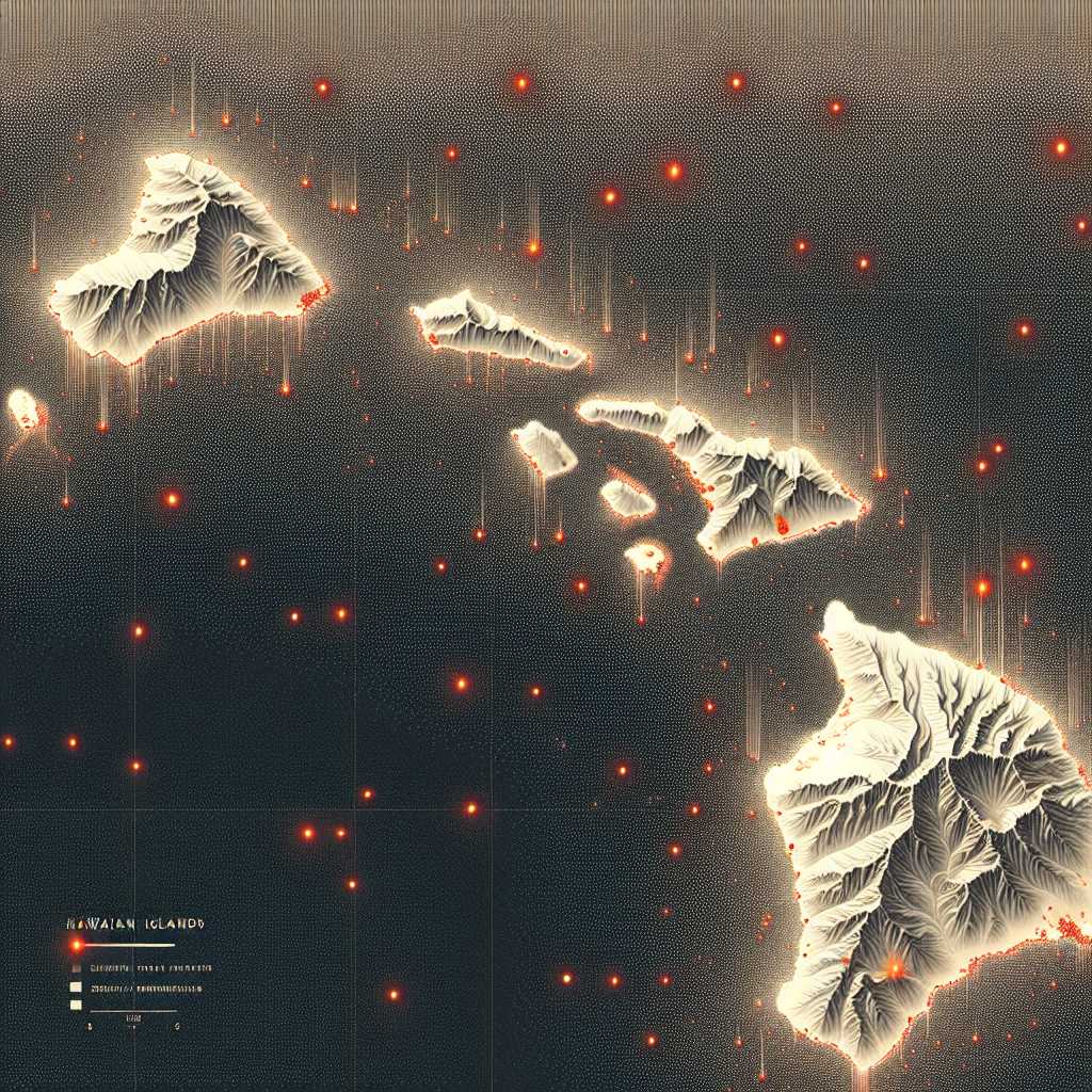
*Image description: A map showing the Hawaiian Islands with overlaid dots indicating locations of seismic activity or monitoring stations.*

