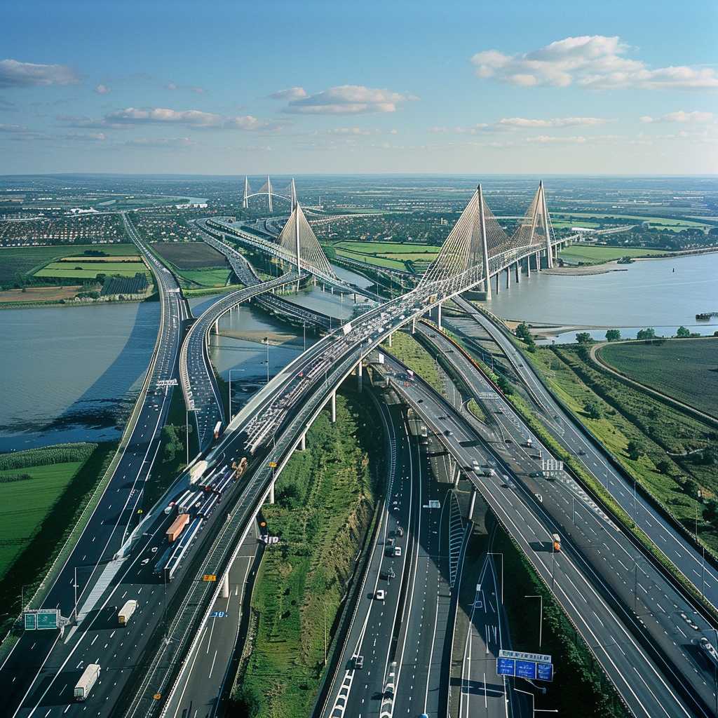
The Dartford Crossing: A Comprehensive Overview
History and Development of the Dartford Crossing
The Dartford Crossing is a vital transport artery for southeastern England, encompassing two dual-lane tunnels and the Queen Elizabeth II Bridge. Devised initially to ease the congestion at the Dartford-Purfleet Ferry, the crossing has evolved into one of the busiest elements of the UK road network.
The first tunnel opened in 1963, addressing the immediate needs of an expanding vehicle populace. The project’s significance was further cemented with the addition of a second tunnel in 1980 to cater to the burgeoning traffic. The most symbolic structure, the Queen Elizabeth II Bridge, was launched in October 1991, becoming at the time Europe’s longest cable-stayed bridge and offering a crucial extra route for northbound traffic.
Amid its expansion, the crossing experienced operational shifts. Initially managed by the Ministry of Transport, its responsibilities were later passed on to the Highways Agency and then merged in 2015 with Highway England (currently known as National Highways), a government-owned company responsible for operating England’s motorways and major roads.
Crucial Link for Trade and Transport
The Dartford Crossing is more than just an infrastructure marvel; it serves as a linchpin in the British transport network. It connects Dartford in Kent with Thurrock in Essex, tying into key routes including the M25 London Orbital, A13 to central London, and A2/M2 towards Canterbury and Dover. This makes it indispensable both for regional commuters and international freight.
It harbours extraordinary economical implications — being one path of the E-road network serving as an international long-distance artery for trade across Europe. With daily crossings peaking at around 130,000 vehicles, its relevance to commerce from nearby ports is unequivocal.
Operational Challenges and Traffic Management
Few crossings are subjected to such intensive use as Dartford’s. Congestion frequently becomes an issue during peak times, causing delays that reverberate through local road systems. National Highways employs a range of measures to manage traffic, including variable message signs, speed controls, and incident detection systems to maximize fluidity under taxing conditions.
Moreover, in 2014 a remote payment system branded Dart Charge was introduced to replace traditional booth payments. This electronic collection method aimed at reducing congestion by allowing motorists to pay online or via retail outlets instead of stopping at barriers.
Environmental Considerations and Future Prospects
Environmental concerns related to climate change and local air quality can’t be ignored in considering large transport infrastructures like the Dartford Crossing. Emissions from vehicular traffic present challenges that necessitate mitigation strategies. Various future enhancement schemes are contemplated to support capacity expansion while taking into account environmental precautions.
Plans potentially include building a new lower Thames crossing to offer supplementary conveyance capability, which could significantly alleviate congestion at Dartford. Collectively these propositions aim not only to reinforce transportation efficacy but also contribute towards pollution abatement goals.
