Understanding the Severe Thunderstorm Watch: A Comprehensive Guide
Weather phenomena can be both fascinating and devastating. Among various weather alerts, the severe thunderstorm watch plays a critical role in community safety. This guide provides an insight into what a severe thunderstorm watch entails, how it fluctuates from related weather warnings, and safety measures that should be followed during such an event.
Understanding Severe Thunderstorm Watches
A severe thunderstorm watch is issued by meteorological authorities when conditions are favorable for the development of severe thunderstorms within a specified area and time frame. This does not mean that severe weather is occurring, but rather that it is possible. Entities like the National Weather Service (NWS) in the United States monitor various meteorological factors including humidity, temperature, and atmospheric pressure to determine the potential for severe weather events.
Criteria for a Severe Thunderstorm
For a thunderstorm to be classified as severe, it must meet certain criteria established by meteorological organizations:
– Wind gusts exceeding 58 miles per hour (mph) or 50 knots.
– Hailstones that are 1 inch in diameter or larger.
– Possibility of tornadoes.
– Frequent lightning.
– Potential for flash flooding.
It’s essential for residents in the affected area to stay abreaded of the latest weather updates when a severe thunderstorm watch is issued.
Difference Between Watch and Warning
Understanding the difference between a watch and a warning is paramount to reacting appropriately to weather alerts:
–
Severe Thunderstorm Watch:
This denotes that there’s potential for severe thunderstorms to occur. Individuals should have a plan of action in case the weather situation worsens and be prepared to move to a safe place quickly.
–
Severe Thunderstorm Warning:
This is issued when a severe thunderstorm is actually occurring or imminent based on radar or weather station reports. People should immediately seek shelter and take necessary safety precautions during a warning.
Safety Measures During a Severe Thunderstorm Watch
Safety Measures During a Severe Thunderstorm Watch
During a watch, it’s prudent to put plans in place for quick action in case conditions intensify:
– Review your family’s emergency plan and make sure everyone understands it.
– Identify a safe shelter location that can provide protection from high winds and flying debris.
– Secure outdoor objects that could become airborne.
– Stay informed by keeping track of updates from local news or weather apps.
– Charge essential electronic devices in case of power outages.
– Avoid risky outdoor activities and water bodies to minimize the chance of lightning strikes.
Preparing Communities and Minimizing Risks
Local officials often work with meteorologists to prepare communities for potential severe weather. Measures include:
– Fostering awareanalysists about the meaning of thunderstorm watches and warnings.
– Installing community-wide alarm systems or notifications.
– Organizing educational programs about disaster preparedessesponse.
Notes
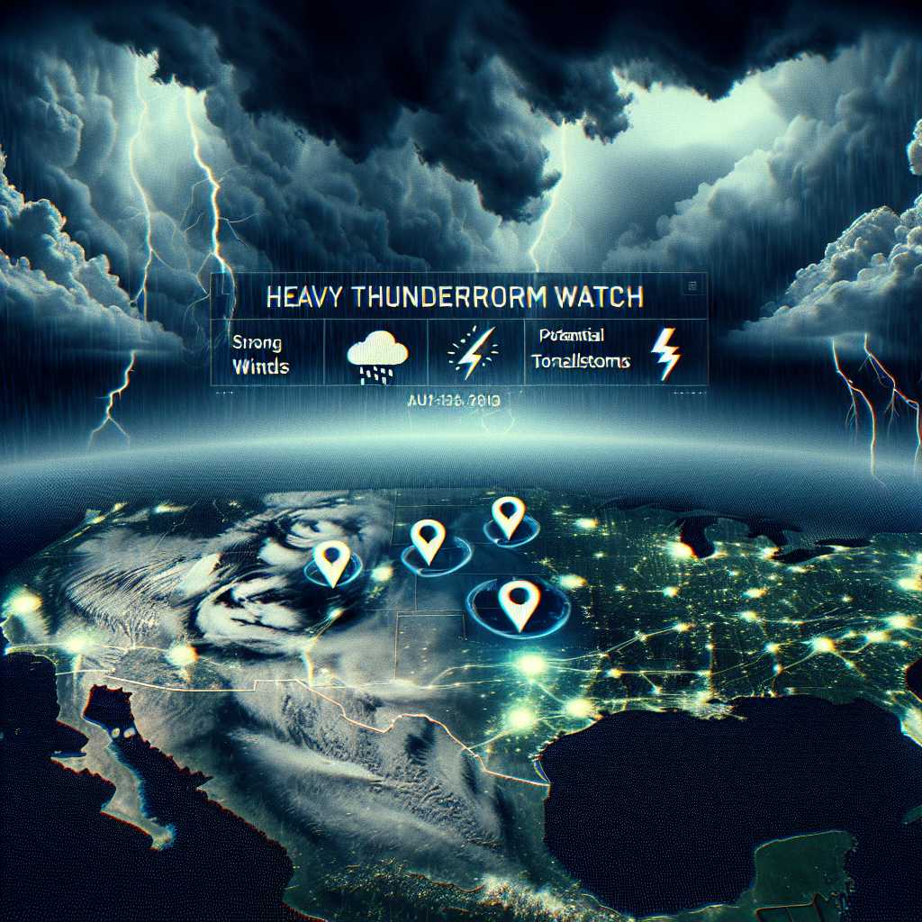
Image description: A graphic visualization showing a map overlaying ominous storm clouds with icons indicating strong winds, hail, and possible tornadoes, indicative of conditions leading up to a severe thunderstorm watch advisement.